+86 13750873347
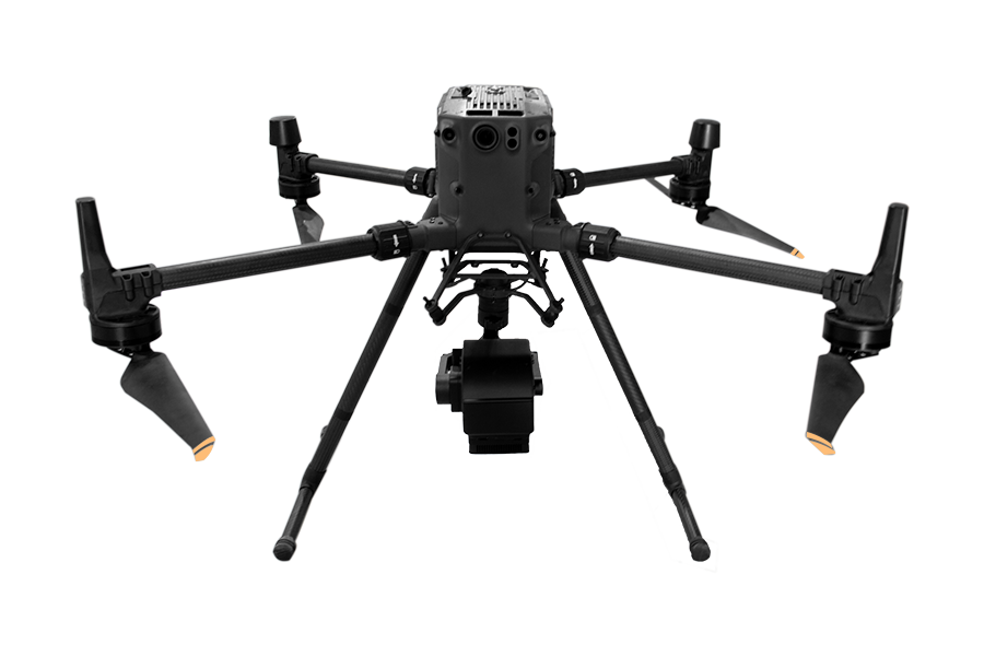
FS-60 UAV Hyperspectral Measurement System
Carrying drones to explore more possibilities
  • FS60 UAV hyperspectral measurement system adopts high signal-to-noise ratio and ultra-high speed CCD imaging device to provide high stability spectral image acquisition; The self-developed high-efficiency and low-power image processing algorithm greatly prolongs the flight time of the whole machine and reduces the power consumption of the system.

    Through real-time measurement of spectral image information of plants, water, soil and other ground objects, it is applied to precision agriculture, crop growth and yield evaluation, forest pest monitoring and fire prevention monitoring, coastline and marine environment monitoring, lake and watershed environment monitoring and other applications.

    The system has compact design and high spectral resolution of imaging spectrometer host. Complete machine composition: high stability PTZ, hyperspectral imager, large capacity storage system, wireless image system, GPS navigation system, ground receiving workstation and ground control system.

    Spectral range: 400-1000nm
    Maximum load: 10kg
    Maximum flight endurance: 60 minutes (3kg load)
    Remote intelligent control app, Bluetooth connection
    Working distance of ground station: radius 10km
  • Contact Now
    Get Best Price
Leave a Message
X
*
*
*
Leave a Message
X
*
  • Hyperspectral camera features

    Spectral band range: 400-1000nm

    Spatial dimension resolution: 1920

    Maximum number of spectral bands: 1920

    Spectral resolution: 2.5nm

    Perfect compatibility of multiple data formats

  • 彩谱无人机高光谱相机测量系统
  • UAV features

    Maximum flight endurance: 60 minutes (3kg load)

    Maximum load: 10kg

    It is easy to operate without professional UAV operator, and can be operated by one person

  • 彩谱无人机高光谱相机测量系统
  • Measurement characteristics of airborne system

    Through the ground station, the sampling location of the aircraft can be observed in real time, and the ground station can be used to set the route collected point by point

    Data preview and correction functions: radiance correction, reflectivity correction and area correction support batch processing

    Real time common vegetation index calculation function

    Support user-defined real-time analysis model input function

  • Application area

    ① Geological and mineral resources survey ② precision agriculture, crop growth and yield assessment ③ forest pest monitoring and fire prevention monitoring ④ coastline and marine environment monitoring ⑤ grassland productivity and grassland monitoring ⑥ lake and watershed environment monitoring ⑦ remote sensing teaching and scientific research ⑧ meteorological research ⑨ ecological environment protection and mine environment monitoring ⑩ water quality detection, Soil monitoring ⑪ quality detection of agricultural and livestock products ⑫ military, national defense and homeland security ⑬ disaster prevention and control

Technical parameter

Serial number

Index

Parameter

Remarks

1

Spectral camera spectral range

400-1000nm

/

2

Spectral resolution of spectral camera

Better than 2.5nm

Up to 1.4nm

3

Spatial resolution of spectral camera

0.9mrad

35mm lens

4

Number of spatial channels of spectral camera

480/960/1920

4 pixel merge / 2 pixel merge / no merge

5

Number of spectral channels of spectral camera

300

4 pixels combined / not combined

6

Pixel number of spectral camera

12bits

/

7

Spectral camera frame rate

80Hz

/

8

Spectral camera field width

21.6°

35mm lens

9

Spectral camera lens focal length

16、25、35、75mm

35mm standard, others optional

10

Visible camera resolution

15 megapixels

/

11

Visible camera shooting interval

Adjustable for more than 2S

/

12

Endurance time of visible light camera

More than 30 minutes

/

13

Standard plate reflectivity

50%,15%,30%,75%,95%

95% standard, others optional

14

Standard board size

0.5m×0.5m

Customizable

15

Number of standard plates

1

Can be added

16

Number of self stabilizing axes of PTZ

2 axis

/

17

PTZ working hours

40min

/

18

Number of motors per axis of pan tilt

2

/

19

Airborne data acquisition and control system CPU

I7

Optional

20

Memory of airborne data acquisition and control system

8G

Optional

21

Hard disk of airborne data acquisition and control system

1T

Optional

22

GPS positioning accuracy

Better than 0.3m

/

23

POS system acquisition mode

Hardware synchronous trigger acquisition

/

24

Ground station control mode

Remote intelligent control app, Bluetooth connection

/

25

Working distance of ground station

Radius 10km

/

26

Ground station endurance

12 hours

/

27

GPS mode

Support RTK and PPK

Optional

Package content

Serial number

Content

Serial number
Content

1

Hyperspectral host *1

7

Wireless keyboard and mouse *1

2

Six rotor UAV (including remote control)  *1

8

Ground station app control software

3

UAV battery *1 set

9

Ground station

4

Standard plate reflectivity *1

10

Ground station antenna *1/

Data transmission antenna*1

5

35mm lens

11

UAV battery charger *1/

IPad charger *1 /

PTZ battery charger *1

6

Sky terminal control data acquisition

and control software


Related products
Relevant cases
请填写下面的表格以获取更多信息
*
*
*