|
Product model |
FS-60UCR | FS-62UCR |
FS-64UCR |
|
Spectral splitting method |
Transmission grating spectral splitting |
||
|
Spectral range |
400-1000nm | 900-1700nm |
400-1700nm |
|
Spectral bands |
1200 | 1024 |
250 |
|
Spectral resolution |
2.5nm | 6.5nm |
18nm |
|
Slit width |
25um |
||
|
Spectral efficiency |
>60% |
||
|
Stray light |
<0.5% |
||
|
Spatial pixel count |
1920 | 1280 |
640 |
| Pixel size | 5.86um*5.86um |
5um*5um |
|
|
Imaging speed |
Full band 128Hz | Full band 70Hz |
Full band 200Hz |
|
Detector |
CMOS |
InGaAs |
|
|
SNR (Peak) |
600/1 |
||
|
Camera output interface |
USB |
USB or Gigabit Ethernet |
|
|
Camera lens interface |
C-Mount | ||
|
Built-in embedded data acquisition and processing unit |
Embedded processor with 512GB SSD storage |
||
| Heat dissipation method | Internal air cooling | ||
|
Spectral camera size |
155*95*119mm(L*W*H) | 135*82*100mm(L*W*H) |
/ |
|
Accessories |
Reflectance calibration plate |
||
|
Focal length ofspectral camera lens |
25mm |
||
|
Field of view ofspectral camera lens |
>25° |
||
|
Measurement accuracyof lidar system |
5cm |
||
|
Lidar ranging distance |
300m |
||
|
Lidar scanning fieldof view angle |
40.3°(vertical)*360°(horizontal) |
||
|
Lidar point frequency |
640,000 points/second (single echo) 1,280,000 points/second (double echo) 1,920,000 points/second (triple echo) |
||
|
Lidar built-in camera pixel |
26 million(6252*4168) |
||
|
Lidar lens focal length |
16mm |
||
| Flight platform |
DJI M350 RTK/ M300 RTK |
||
|
Aircraft size |
Unfolded state, without blades: length * width * height 810*670*430 mm Folded state, with blades: length * width * height 430*420*430 mm |
||
|
Aircraft weight |
Empty aircraft without battery: about 3.77 kg. Empty aircraft with battery: about 6.47 kg |
||
|
Maximum takeoff weight of aircraft |
9.2kg |
||
|
Fastest ascent speed of aircraft |
6m/s |
||
|
Maximum horizontal flight speed of aircraft |
23m/s |
||
|
Longest flight time |
55 minutes (measured in a windless environment and under no-load conditions by flying forward at a speed of approximately 8 meters per second until the remaining battery power is 0%. For reference only. The actual usage time may vary due to different flight methods, accessories, and environments) |
||
|
Operation mode |
Easy to operate. No professional drone operator is required. Single-person operation can be realized |
||
|
Observation mode |
Real-time observation of the aircraft sampling location, hyperspectral image, and spectral data through the ground station. Function |
||
|
Correction mode |
Radiance correction, reflectance correction, and area correction support batch processing |
||
|
Data format |
Compatible with spe format, hdr format, and scp format | ||
|
Application software |
FIGSPEC UAV, FIGSPEC Merage mosaic software, FIGSPEC Studio application software, image analysis software | ||
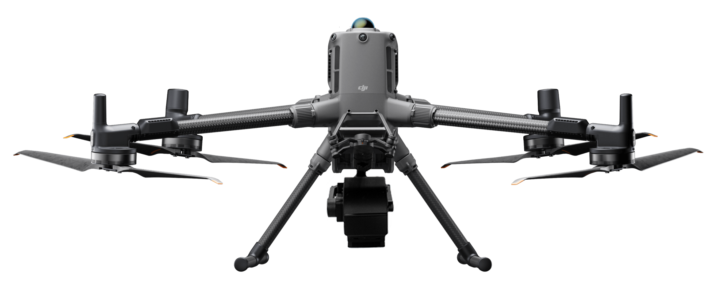
UAV Hyperspectral LiDAR Measurement System FS60-UCR Series
The main functions include: hyperspectral imaging, spectral range 400~1700nm


